Our Territories
More than our territory, this is our land.
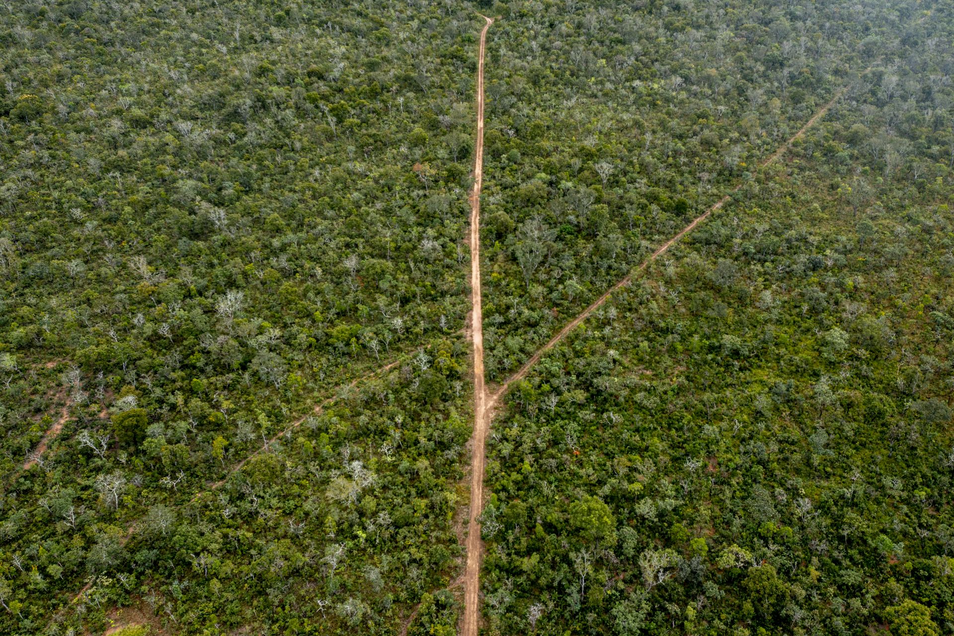
In what is now the state of Mato Grosso, there is a forest path that stretches from the mouth of the Öwawe, the “River of the Dead” or Rio das Mortes in Portuguese, to its headwaters. We, the A’uwe people, call this path maranã bödödi.
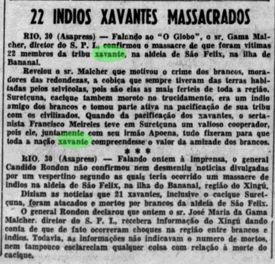
Note from the newspaper Correio Paulistano, published in 1953, reporting the murder of 22 indigenous people of our people.
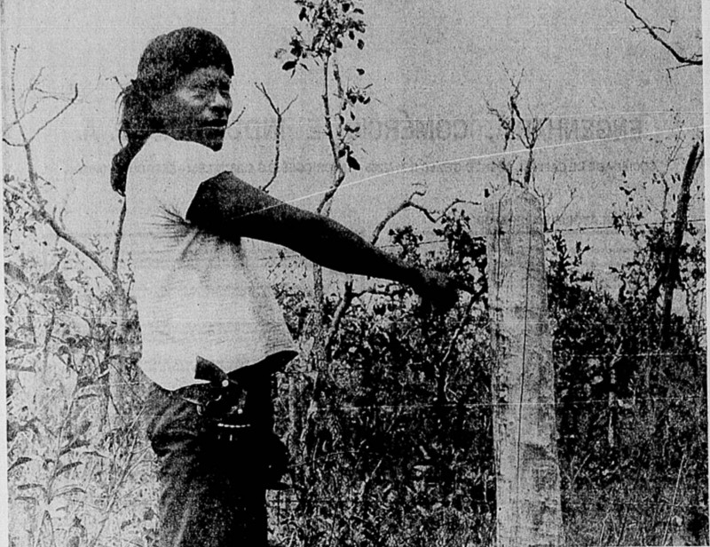
Report from Jornal do Brasil, dated November 1972, documenting the vulnerability of our people and the mobilization for the demarcation of our lands in the Areões region.
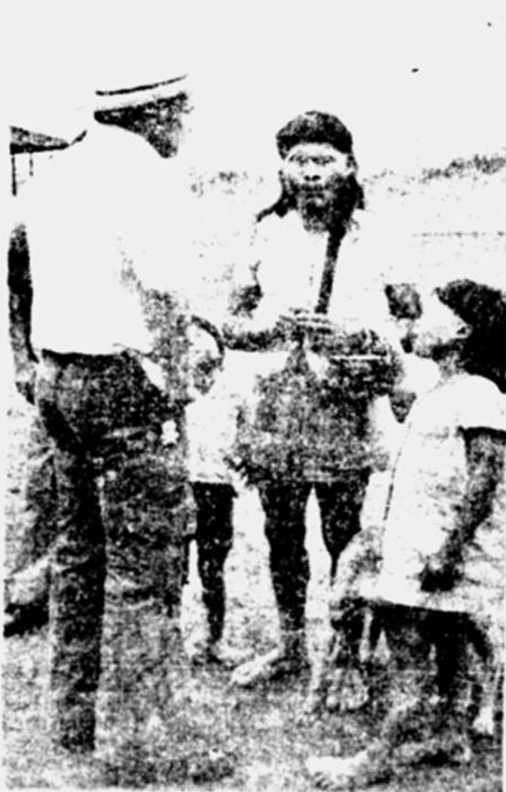
Article from Jornal do Brasil, dated November 1973, reporting the struggle of the A’uwe people for the demarcation of their lands in the Sangradouro/Volta Grande and São Marcos region.
Along this path, we hunt, fish, and collect fruits from the cerrado. This path connects our territories, and before the arrival of the waradzu (non-indigenous people), we walked it to visit our relatives. It was also around this path that we established our villages and resisted the massacres imposed on us by the waradzu.
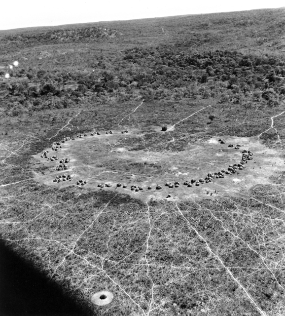
More than just our territory, this is our land. However, the government cut through maranã bödödi with highways, creating towns and cities. The nature you call cerrado, and we call ró, was cleared for the establishment of large farms throughout the Araguaia Valley, along the banks of the Rio das Mortes, and in the Serra do Roncador.
Unable to hunt, fish, and collect as they did before, our people suffered. It was then that our true leaders, A’uwe Uptabi, led the fight for the demarcation of our territories.
After many years of mobilization, the government finally allocated nine indigenous territories to the A’uwe-Xavante people. Surrounded by soybean plantations and pasturelands, these lands are now one of the few places in the state of Mato Grosso where the ró is still alive, and the cerrado stands tall.
To view the limits of the territories demarcated to the Xavante, click here or browse the map below.